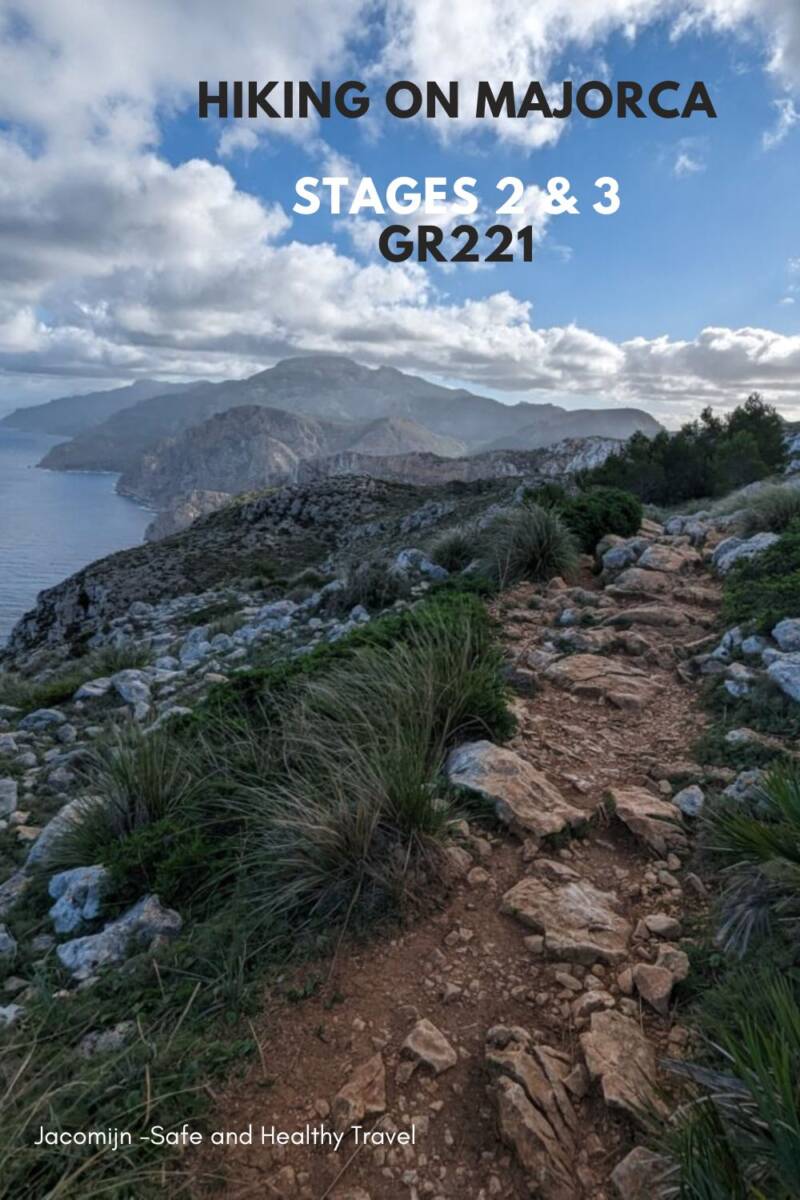
I went hiking on the beautiful GR221 on Majorca in Spain. I chose the long-distance walk GR221 to walk some days in a row. Read all about the first day when I walked from Port Andratx to Sant Elm. Walking on and along the coast of Majorca is wonderful. This hike also gave me the challenge of a real mountain hike. Read the detailed report on stages 2 & 3 of hiking the GR221 on Majorca in this blog.
Walking on Majorca is super, the views of the coastline are really cool! This day I went to see so many beautiful spots again! Read on.
Day 2 of Hiking the GR221 on Majorca, Spain
What is the GR221?
The GR221 is a long-distance hike in Majorca. The walk takes you through the Serra Tramuntana mountain range. That’s the mountain range all along the west coast of Majorca. If you go to Majorca by plane, that’s about the first thing you see when you fly in. Know that every day on the GR221 brings you a challenge and will give you a lot of altimeters. GR stands for Great Route Paths, read more about where this comes from.
Stage 2 – Sant Elm to Ses Fontanelles
I started nicely on time that morning. Since I had booked a night in Banyalbufar, I had to walk at least 2+ stages. At 8 am I had a cup of coffee and at 8.15 am I walked out of the hotel. I had seen where to exit the village the day before so I walked there quickly. Just before you walk out of Sant Elm you can refill your water, how nice! Because I had forgotten to do this. My litre bottle was almost full but I filled the 700 ml one more time.
In Palma, you’ll find these water-filling spots too. Ideal. It says Aqua Potable on it, which means drinking water!
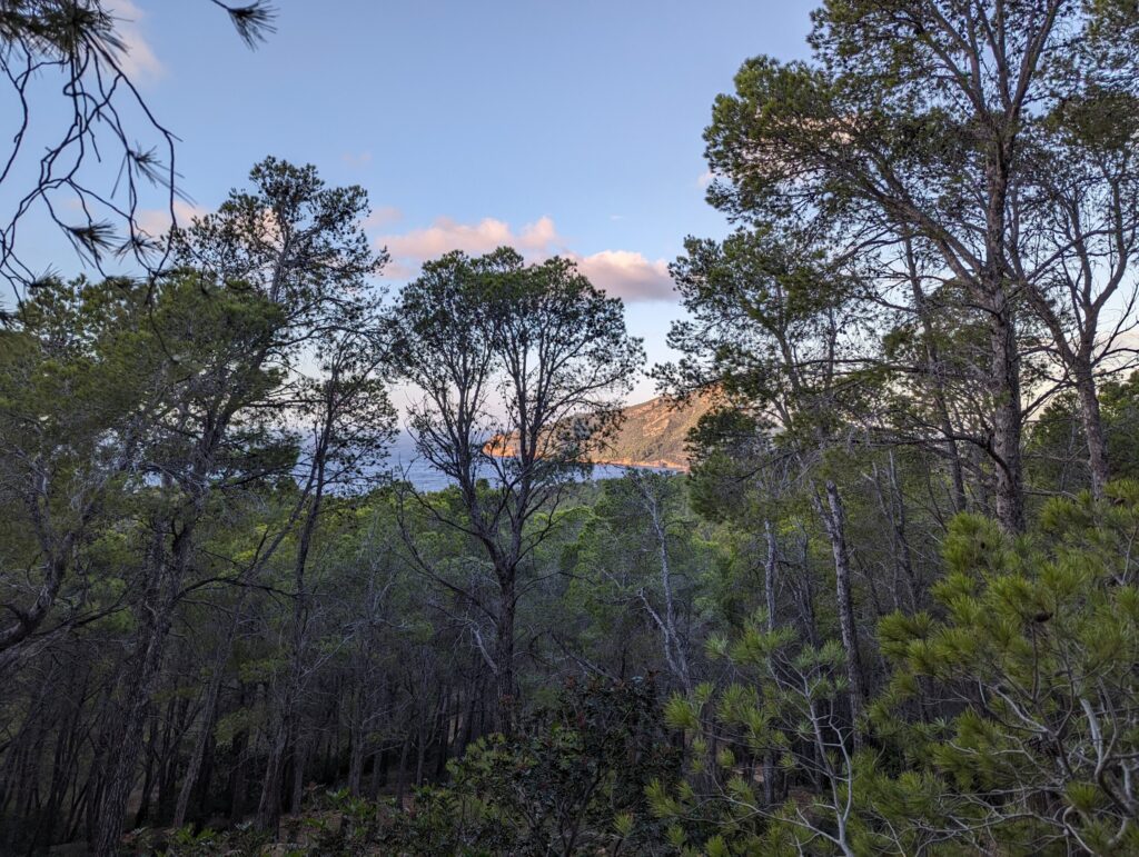
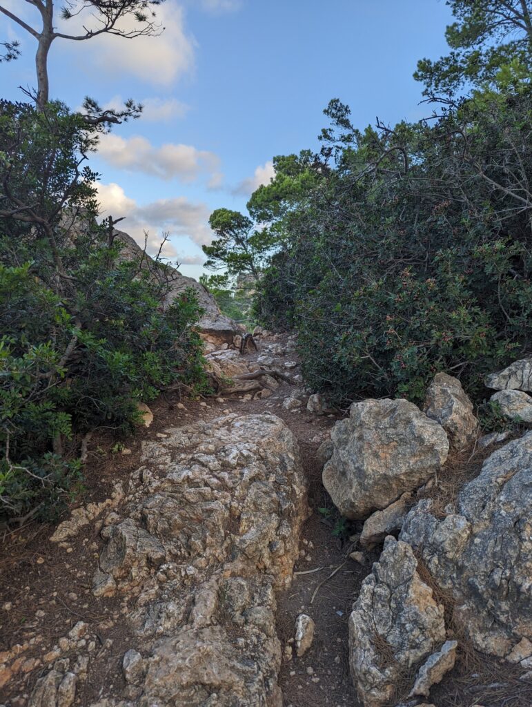
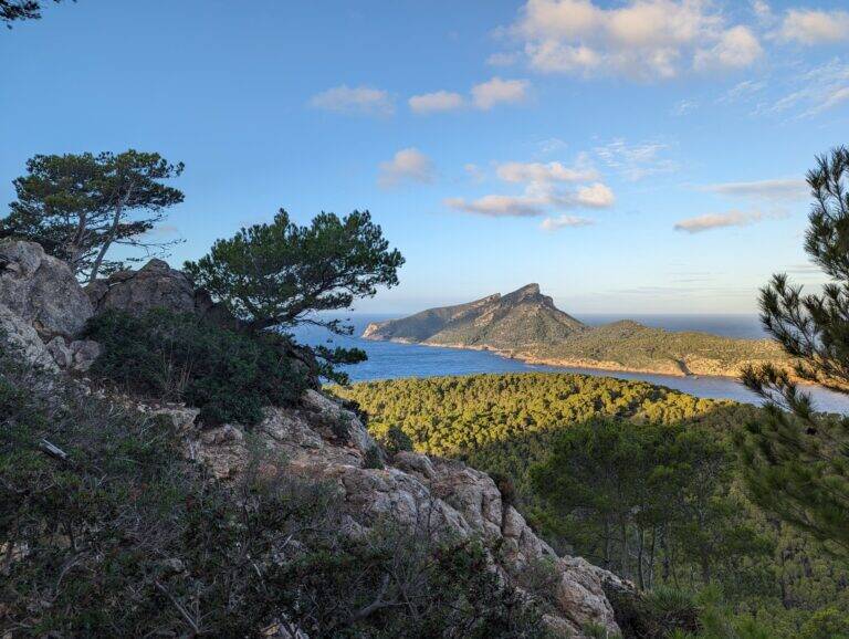
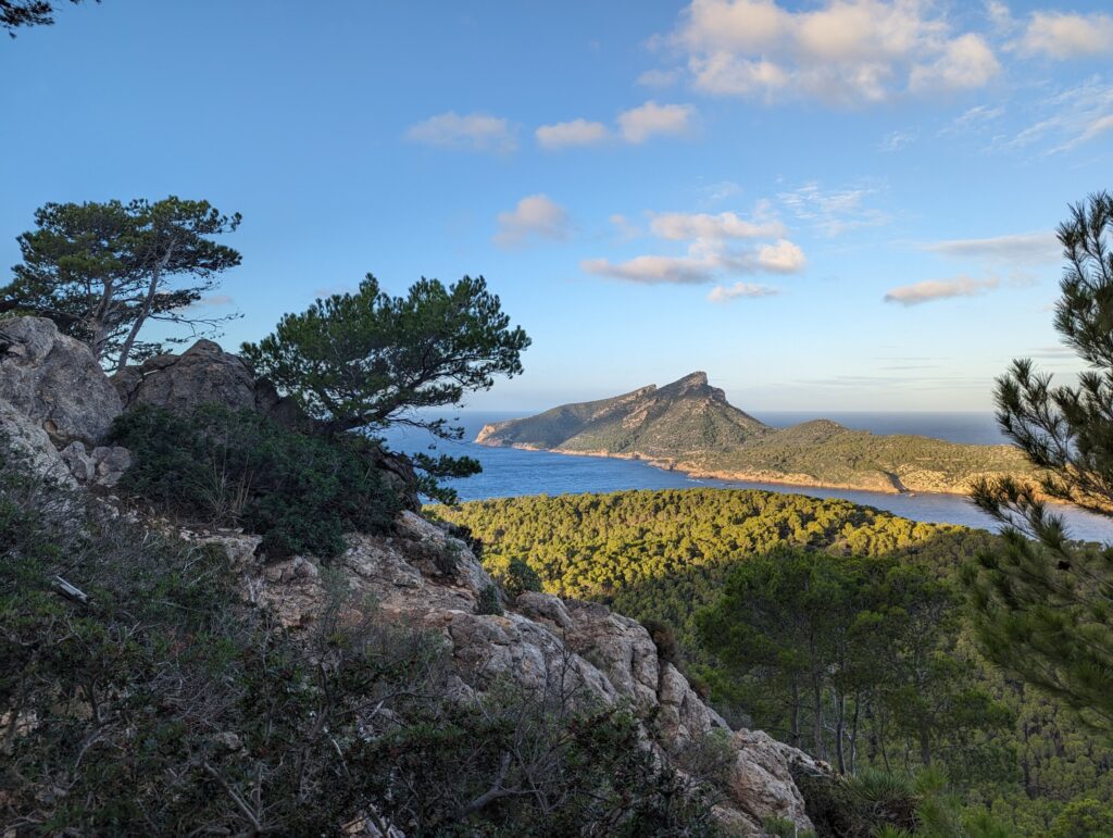
Then the trek uphill started. After a while, I walked into a forest and slowly went up steeper. I had overtaken 1 woman and when I was at the top and enjoying the view of Se Dragonera, she passed me again. I took some time to eat my banana, take some photos and just sit for a while.
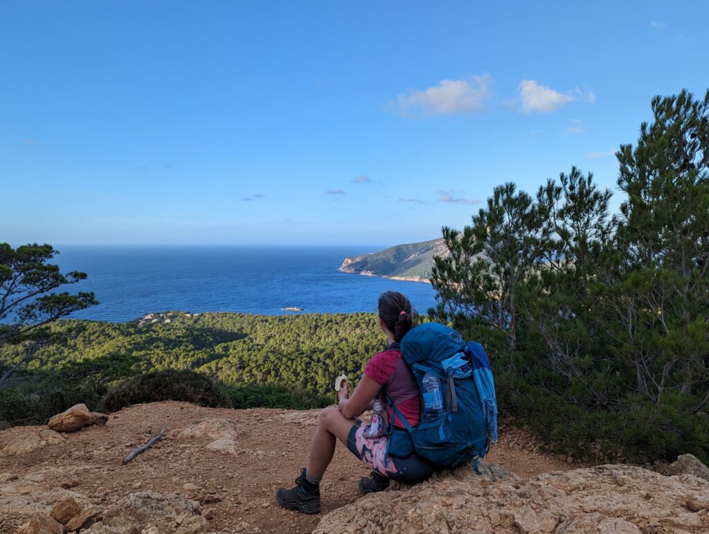
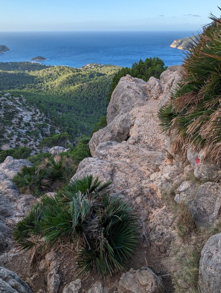
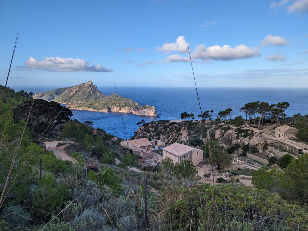
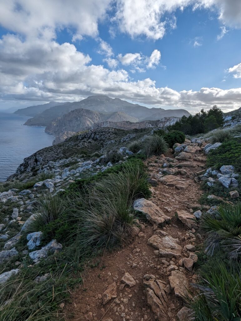
As I continued walking I came to walk along a beautiful mountainside with a nice view towards the sea. I could still see the island of Dragonera and as I rounded the bend where I lost sight of it a new point came into view. La Trapa, it is an old Trappist monastery which sits against the mountainside. Magnificent views of the sea and beautiful old abandoned vineyards around it. A beautiful place!
Stage 2 & 3 of hiking the GR221 on Majorca, Spain
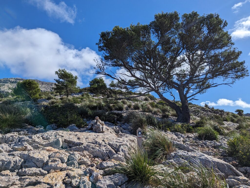
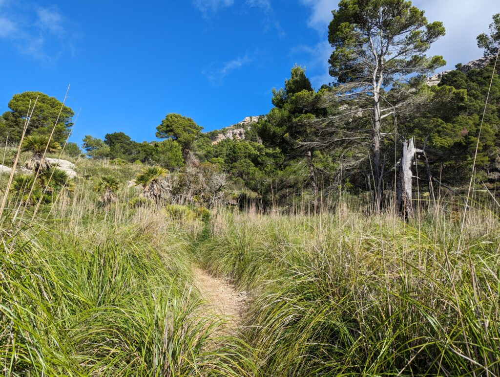
I had to cross a fence here and also came across the first official signs of the GR221, the red and white ones. Very nice, I have a GPX so I can navigate but when you don’t have to look at your phone every time and just get to walk on your own is so nice! Hiking in Majorca has pleased me so far!
As I got higher after La Trapa, I also got another view of Dragonera, now from the other side. I had passed the tip of the island and was now walking further away from it.
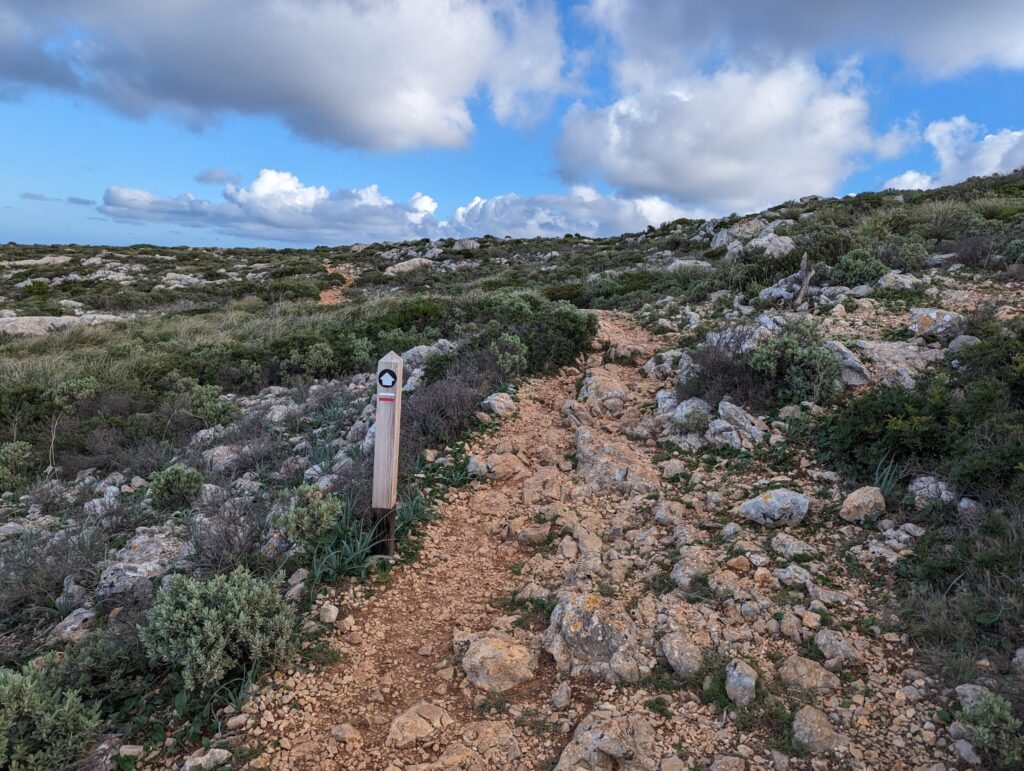
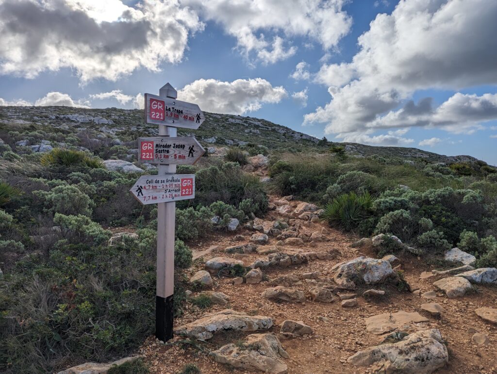
I rose nicely and as I reached the top I got one of the most beautiful views of the day. Suddenly I looked across the length of the island and saw the coastline stretching far ahead of me. Several bays I saw with a rugged landscape alongside. How cool!
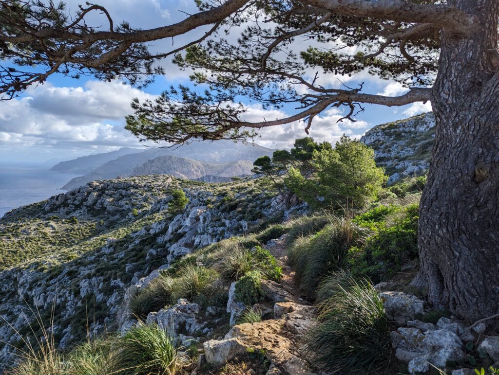
As I continued walking, I headed inland and came out to an area where there is also hunting. It was clear from the pictures that you are supposed to stay on the path because there is hunting. Walking out of this area, I came to Coll de sa Gremola. A great place for cyclists, which I also saw in large numbers cycling there. I saw later that I could have walked along the bottom, that’s where the original GR2221 footpath ran but I walked on the paved road for a bit. Sometimes not bad at all. I can walk for a while without having to check every time if there is a stone you have to stand next to 🙂
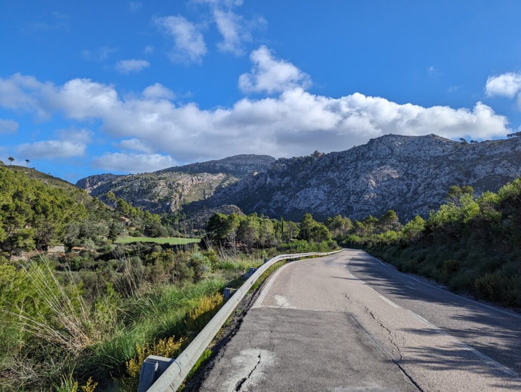
A little later, I had to turn right, past a gate that could not be opened. I managed that by holding on tight to the pole next to the gate. It would have been quite a jump down if I hadn’t managed it… And then back up via a wide path. Shortly after this, I think 20 minutes, I saw the turnoff to Finca Ses Fontanells. Just past that turn-off, I saw a couple of large stones in the sun that I could enjoy sitting against. I had my lunch there.
I had finished the first leg for the day. It was almost noon so I still had the whole afternoon! Perfect!
Stage 2 & 3 of the GR221
Day 2 of Hiking on Majorca, Spain
Duration, distance and descending/ascending
This stage took me about 3.5 hours. This also matched the description I came across on the internet. The distance is over 12 km. You will ascend 560 metres and descend 280 metres during this stage.
Stage 3 – Ses Fontanelles to Estellencs
After getting my lunch, a granola bar and a Snickers I still had in my bag from Jordan, I continued. Meanwhile, I had been passed by three German youngsters. They had wanted to get water at Finca Ses Fontanelles but couldn’t get it there. They had said they only sold it to customers. Very strange! This trio also went on to Estellencs and, it turned out later, we wouldn’t get another chance to buy/refill water.
I caught up with them after half an hour. We only walked uphill and I found it quite tough. I had not been paying super close attention because I had them in my sights. The path they chose was not the easiest it turned out afterwards. When we were almost at the top and I caught up with them, I saw that we were walking to the right of the path. They were only walking on the arrows, colours and stacked stones. You do make it that way but it is less easy.
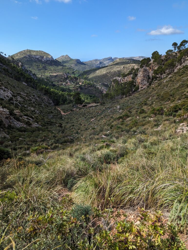
Arriving at the top, I kept to the left and found the path, pointed it out to them and walked on. On top of the mountain was another one of those nice fences you can climb over with stairs. Then I came to walk briefly into a valley where there were two water reservoirs. After this, I was allowed to climb up another steep hill right away. This one was instead of just where we walked between plants over rocks and stones. So here I had to be more careful and watch where I put my feet.
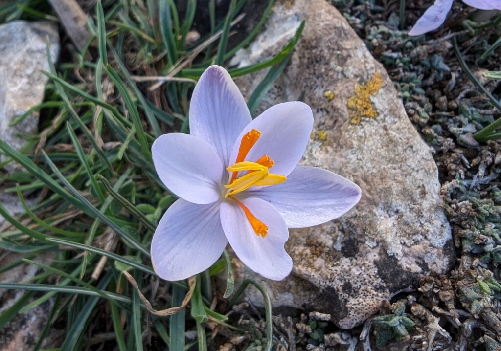
Hiking the GR221 on Majorca, Spain
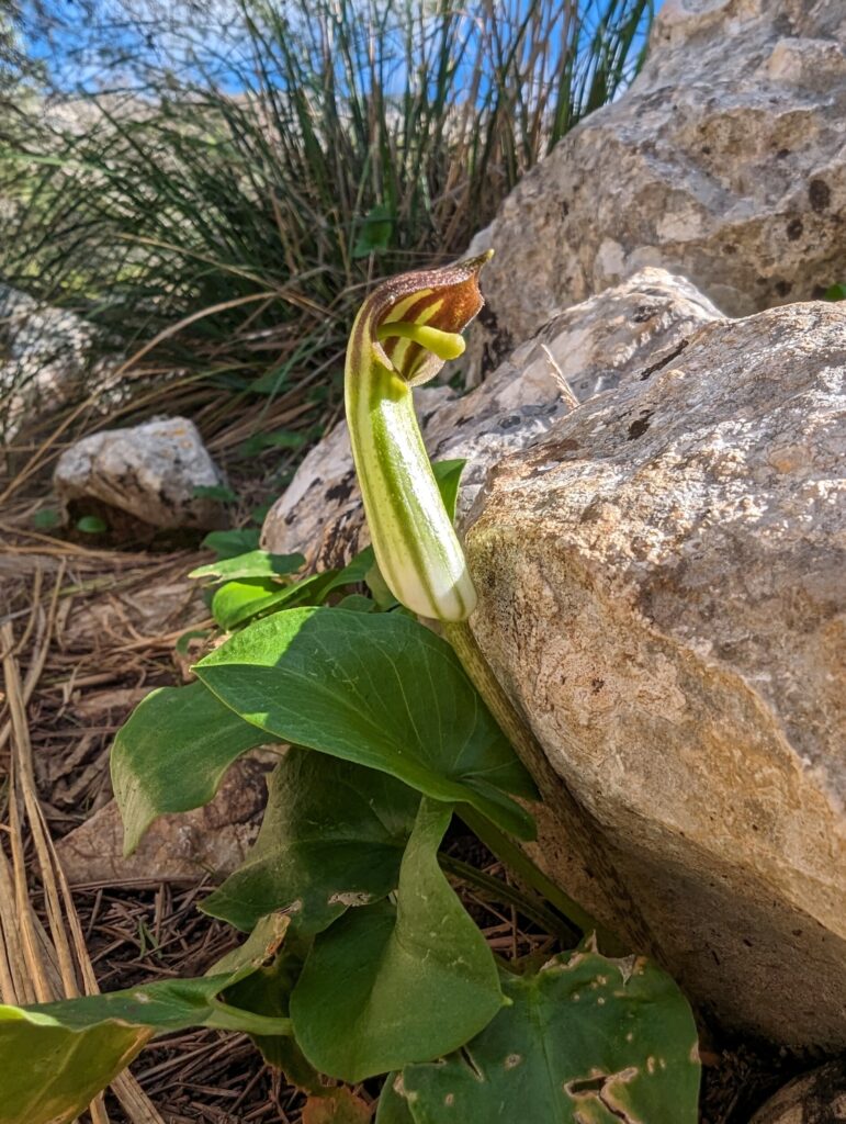
Sometimes it takes quite a long time before I see another pole with a flag, once I was on top and I saw that pole again I was happy! I couldn’t bear the thought of having to go back a bit to go back up elsewhere.
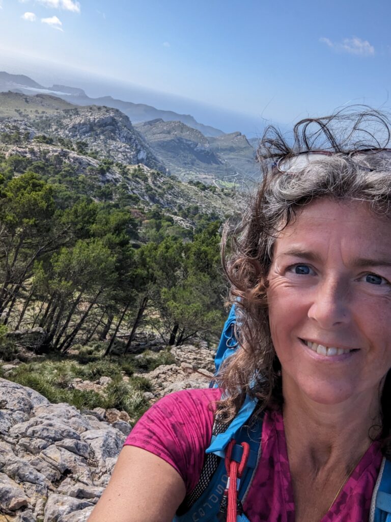
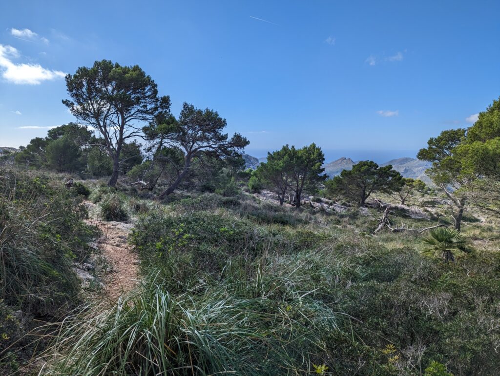
I walk with about 8kg on my back and that is actually just a bit too much for me on this kind of trek. My feet don’t like it… knees with descending even less so. By the way, I say 8kg every time but I’m not sure. I haven’t weighed it and the airline allowed me to carry 8. If I can weigh somewhere I will do so and see how much I am carrying.
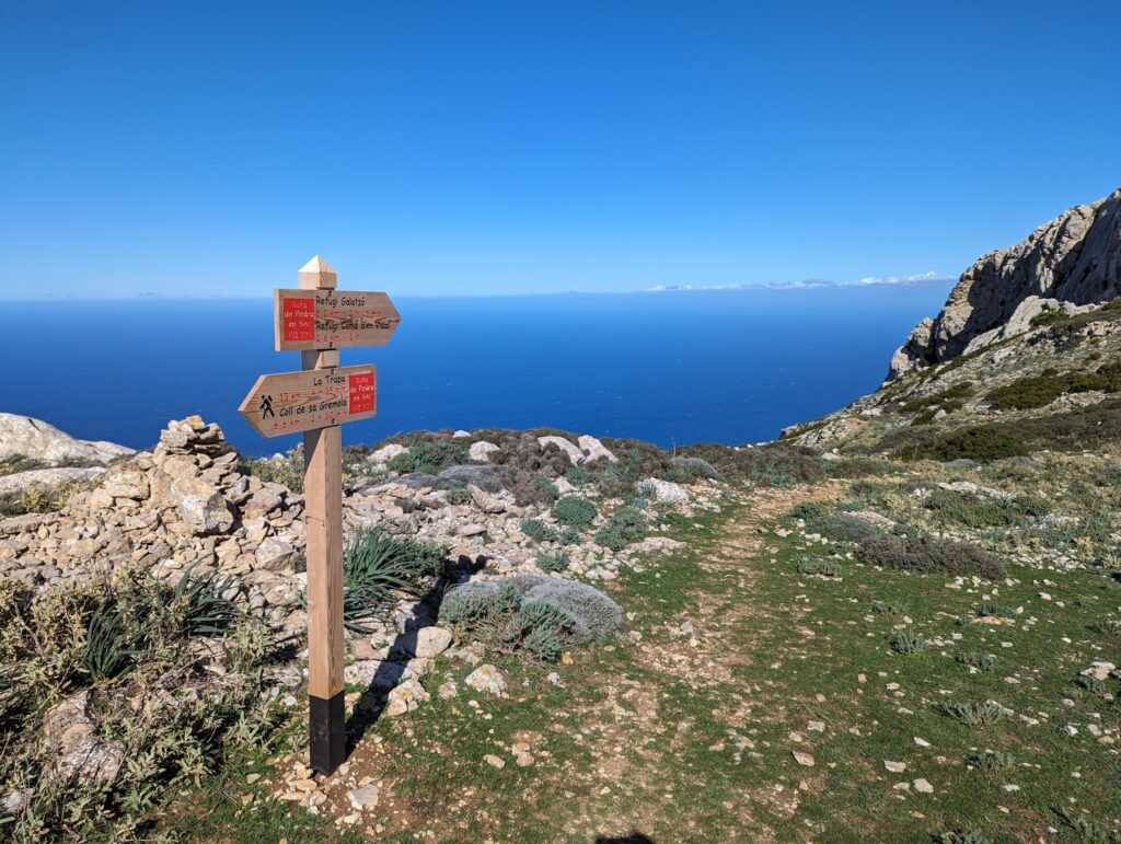
On top of the mountain, I came across some more goats and a trail sign indicating two refugis. I wonder where to find them. I couldn’t find anything about them online, not much about the route itself other than some blogs sharing their experiences. But then there are still signs with refugis as if you should be able to get an affordable night there. I don’t dare to walk there on a guess I must confess…. Who knows how to book them? Find them? I would love to know more.
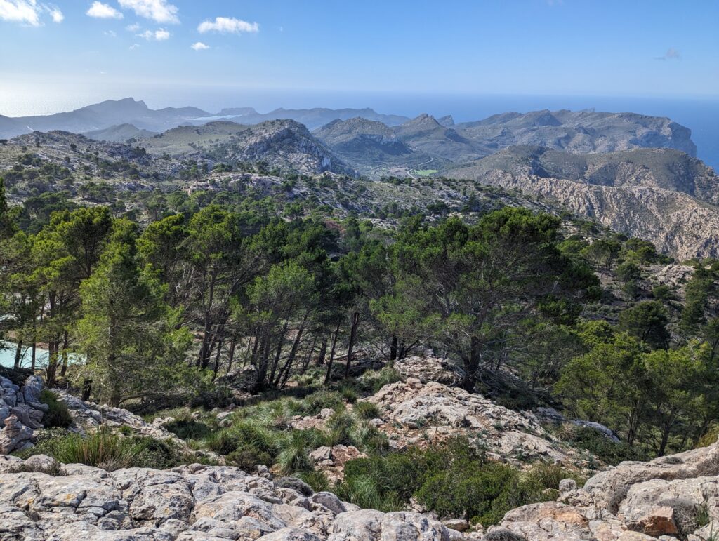
After enjoying the view, I get to descend again. I come to walk on a wide road and this takes me all the way down, almost to sea level. Meanwhile, I start to get very sore from my right knee. I walk as slowly as possible to avoid the blows. Then I am overtaken by a Hungarian young girl. She tells me she started just this morning in Port Andratx! Where I started yesterday morning!
So she is doing 3 stages at once…and she planned to do the trek as soon as possible. She even hoped to do the long-distance hike GR221 in 4 days, she added. I noticed she was walking very lightly, she only had a small bag on her back that also contained a tent etc. So she could plop down anywhere she felt like. Respect! And that on sneakers too.
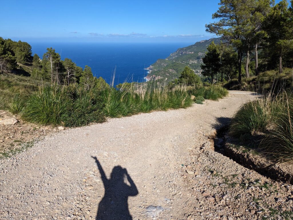
When we were at the bottom of the road, the path pointed to the left, while Estellenc was to the right. She walked back a bit before descending to the sea to hike a nice path and I took the shortest way to Estellenc. On the road my knee was already running a lot better, I had also run a blister under my right foot. After walking for a km on the road I was actually done with it, I stuck my thumb up and not much later I was in the back of the car with a Polish couple.
Duration, distance and ascending/descending
Up to the road where we thus had to backtrack a bit to continue the path under the road, I had walked for 3 hours. The walk would then take another hour if you continue walking. The entire stage is 14.4 km which you would then cover in 4 hours. You ascend 550 metres this stage and descend 520 metres.
Hiking the GR221 on Majorca – Spain
Enjoying The Good Things in Life – Majorca
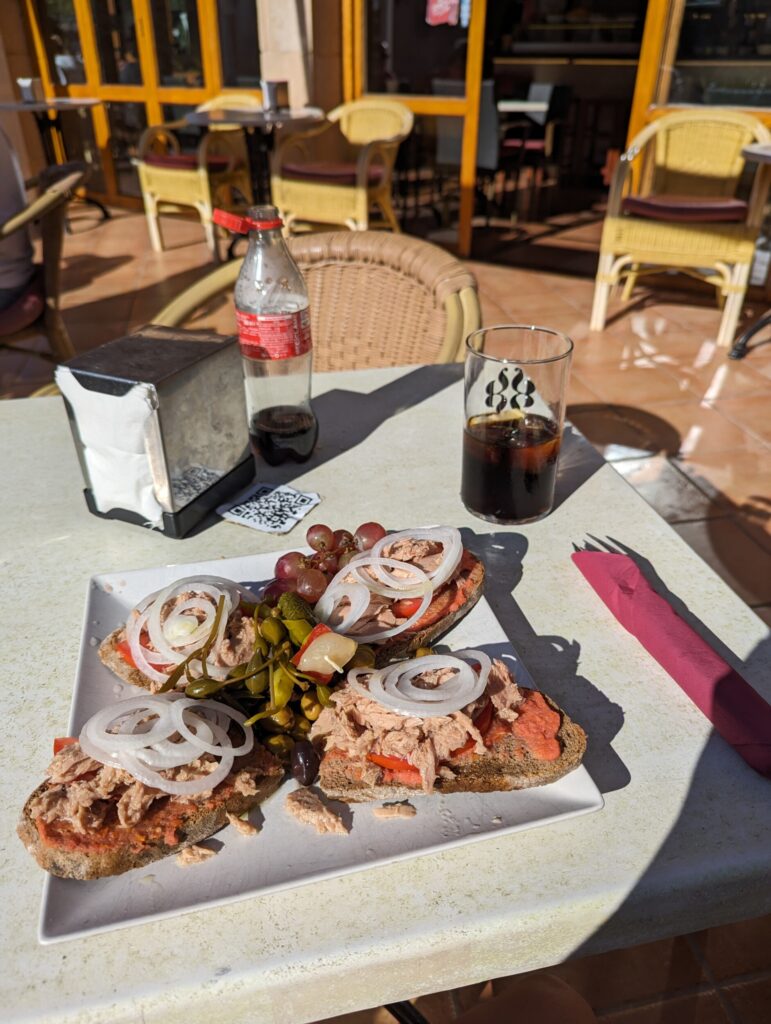
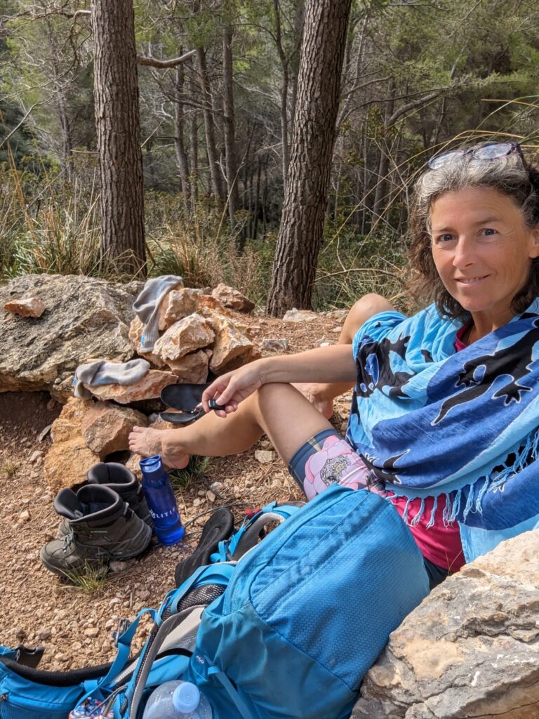
But I was sitting in the sunshine on a terrace in Estellenc a few minutes later. I had ordered a delicious lunch and was fully enjoying the lovely weather. Shoes off, slippers on and the bag beside me on the floor.
Life is good!
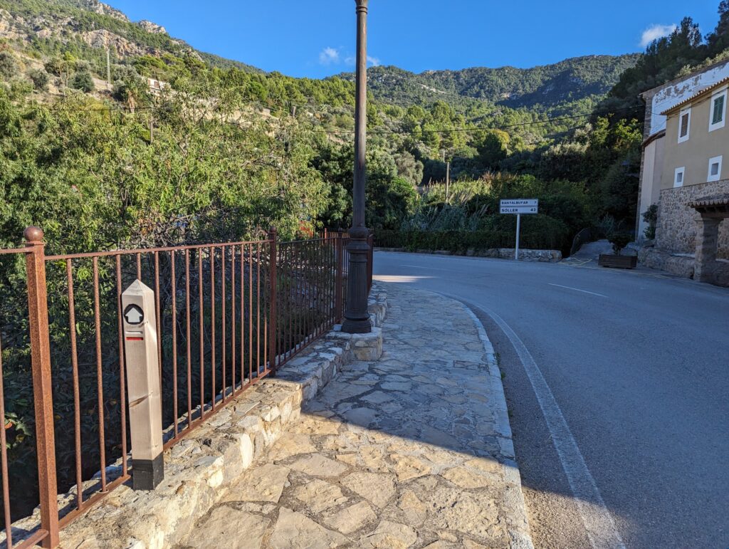
After about an hour, I decided to walk on. I still had about 7 km to go to Banyalbufar and I thought I could do that. The shoes were fresh and the socks dry again and I walked out of the village in good spirits. After a bit on the path, I found myself walking on the main road again. I thought … Actually, I just fancy a hot shower and a cup of coffee …. So thumbs up again and this time it was a woman from Berlin who gave me a lift with her yellow Panda. What nice holiday people you meet while walking in Majorca!
About 5 metres before the hotel, at the bus stop, she dropped me off and I was able to check in and step under a hot shower! How nicely organised everything was again!
Stay in Banyalbafur
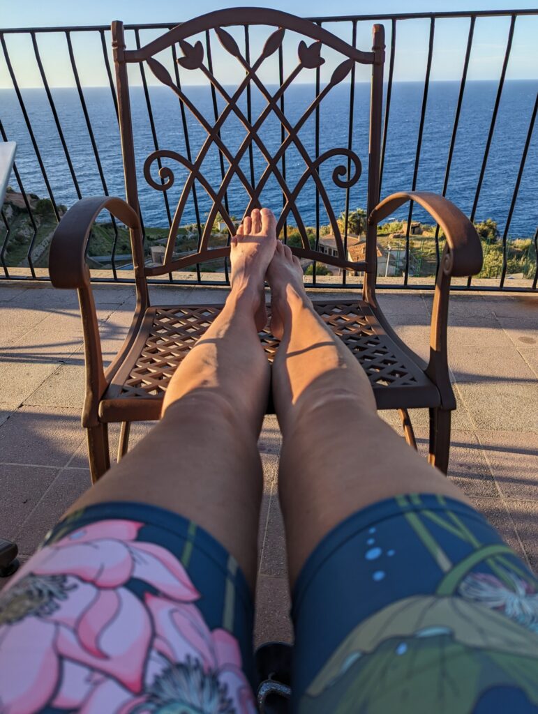
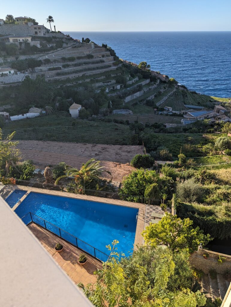
I stayed at the fantastically beautiful Hostal Se Baronia where I paid exactly €100 for one night. A great big building where you can sit on the roof terrace but where they also have a nice swimming pool a few floors below. Banyalbafur is known for its terraces and these can be easily seen from the roof terrace.
The next morning I took the bus to Esporles and from there I walked my last stage to Valdemossa. Another very beautiful walk! Read about that walk too !
Have you ever done one of those stretches of a long-distance walk?
In Mallorca or in another European country?
Want to read more hiking inspiration?
- How about hiking in Wadi’s – Jordan & Oman
- Hiking trails on Karpathos – Greece
- Lycian Way – Stage 2 & 3 – Turkey
- 8x Hiking in Singapore
- Fishermen’s Trail – Hiking along the coast of Portugal
Or check this great stage of the Costa Brava hike?
